


The Table of Contents (TOC for short) included in the 3D view behaves exactly like the TOC of the 2D view, showing the layers added to the view and legend.
As in the 2D view, you can use the TOC to easily change layer visibility. In the case of the elevation layer, if this is made not visible the elevation will disappear from view, leaving surface with no relief.
Another feature of the TOC is to control the display order of the layers (which are visible over the others). That is achieved by dragging the layers up or down. In the 3D view this order applies only to the vector or raster image layers, but does not affect the layers of 3D objects or elevation layer. The following example shows how the order affects two vector raster layers but has no effect on the elevation layer.
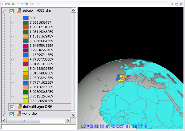
TOC and corresponding 3D view


